October Day Trip to the Gargunnock Hills
Having driven via Kilsyth and the Tak-Ma-Doon Road, James, Willie and I arrived at the Todholes car park a few minutes ahead of the arranged time. Soon, Heidi, Ian and Boris the dog arrived, having travelled via the Crow Road. The morning was cool and clear and we soon set off, following the windfarm track northwards.
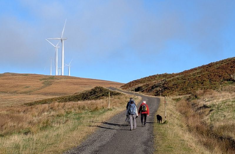
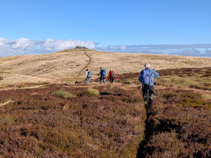
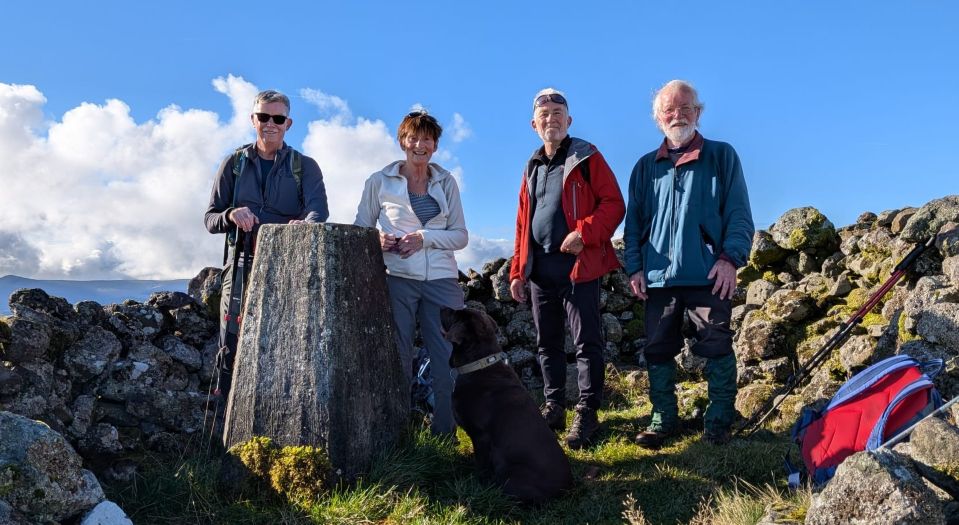
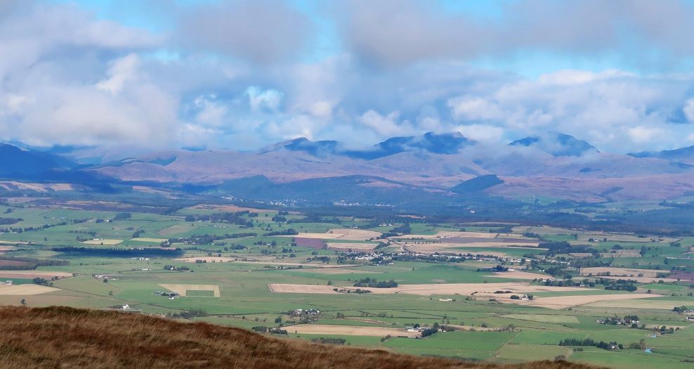
The track climbed gently to its most northern point, with some gradual down- and uphill sections along the way. We had good views back to Meikle Bin and the Campsies. From the northern end of the windfarm track, a boggy path leads to the summit of Carleatheran (Marilyn, 485m). From here, the views were spectacular! We could see up and down the Forth Valley, as far as Conic Hill and Ben Lomond in the west to the Ochils, Stirling, its castle and the Wallace monument in the northeast. In the distance to the east, the Forth bridges could be seen. Quite a bit of time was spent on identifying all the hills we could see. We agreed that Carleatheran is an underrated summit.
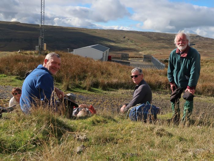
After retracing our steps to the windfarm track, we continued south-westwards. The track stayed above 400m for the next 2km, keeping the beautiful vista to the north in sight. We reached a substation building where we waited for Willie to take some pictures. Here we met the only other walkers we saw all day, a group of four heading towards the summit. They looked surprised to see us too! We now dropped down more rapidly, eventually turning onto an overgrown track towards the ruins at Burnfoot. Some lovely large trees mark the site. We made our way to a footbridge across the Burnfoot Burn, close to where it meets the Backside Burn. According to a sign the bridge was built less than 20 years ago with government funding, but it is already in a poor state of repair. We made our way across rough, boggy ground to regain the windfarm track that we used on our way north earlier in the day. From this point, it was a fairly easy walk back to cars. The car park was now completely full, with several cars parked on the verges. Just as well that we made an earlyish start! We all enjoyed the walk into a new area and the views from the summit were well worth it!
Note for walkers with dogs considering this route: although Boris had a great time, there were several obstacles including cattle grids without gates and fences that he had to be lifted over.
GPS data: distance 17.5km, ascent 417m, total time 5h12m.
Cornel Brozio

October Weekday Walk in the City of Glasgow


